Moving to Salt Lake City: where to live along the Wasatch Front
Moving to Salt Lake City? Compare Salt Lake City, Ogden and Provo for neighborhoods, rent, housing prices and commutes.

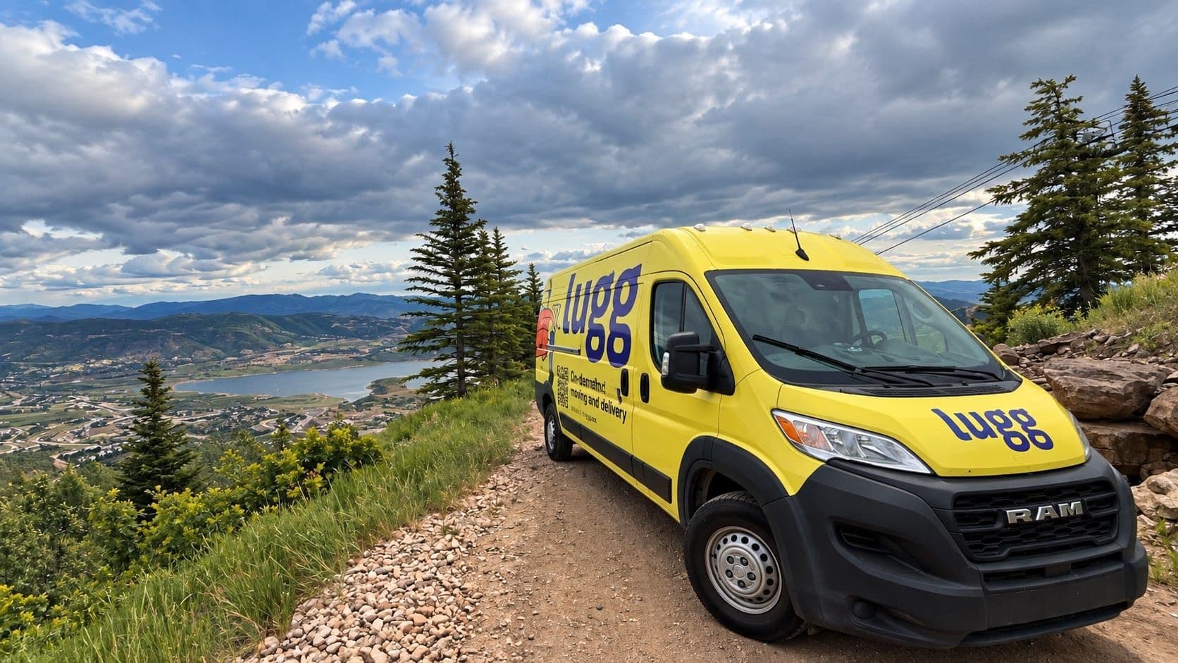
Moving to Salt Lake City is mostly a choice of where to sit on the Wasatch Front. Salt Lake City works best for people who want access to downtown, transit and the canyons; Ogden trades a longer commute for a lower entry price, while Provo and Utah County suit people whose work or school is south. UTA's FrontRunner connects Ogden, Salt Lake City and Provo along an 83-mile corridor. Lugg is an on-demand moving and delivery service that handles local moves across the Salt Lake Valley and the rest of the Wasatch Front, a practical option when a move crosses a city line without covering much distance.
| Where | What it is | Median sale price | Median monthly rent | Suits |
|---|---|---|---|---|
| Salt Lake City | The state capital and the corridor's center of gravity, with downtown, the university and the airport | $638K | $1,414 | People who want to be near work, transit and the canyons, and will pay for it |
| Ogden | Smaller northern city at the mouth of Ogden Canyon, with a historic downtown | $370K | $1,216 | Buyers who want the mountains and the lowest entry price on the corridor |
| Provo / Utah County | University town anchoring the fast-growing south end | $515K | $1,193 | Students, families and anyone working the tech corridor |
Prices are median sale prices for the three months ending August 2026, according to Redfin.
The figures are city-level median sale prices for the three months ending August 2026, based on Redfin data for Salt Lake City, Ogden, and Provo. Housing prices change quickly, so treat them as a comparison point rather than a moving budget.
Monthly rent is median gross rent from the U.S. Census Bureau's 2020–2024 American Community Survey; it includes contract rent plus applicable tenant-paid utilities. It is a comparable renter benchmark, not a live asking-rent quote.
What is it like living in Salt Lake City?
The address system will disorient you for about a week, and then it becomes the most useful thing you know about the city. Salt Lake City is laid out as a coordinate grid, and the grid's origin is the southeast corner of Temple Square, with Main Street running north to south and South Temple Street running east to west. An address like 1300 East 2100 South is a pair of coordinates, telling you how far east and how far south of Temple Square you are. Once that clicks you can place almost any address in the valley without a map, and you can give a mover directions that actually land.
The original plat used 660-foot blocks and 132-foot streets, some of the widest in the country. A block is an eighth of a mile, so "it's only two blocks" means more here than it would in most cities.
Geographically, you're in a bowl. Salt Lake City sits in the northeast corner of the Salt Lake Valley, with the Great Salt Lake to the northwest, the Wasatch Range rising steeply to the east and the Oquirrh Mountains to the west. The Wasatch side is where the ski resorts and the canyons are, which is a large part of why the east side of the valley costs more. The mountains are visible from most of the city and reachable on a weekday evening, and that proximity is what the city is built around.
At roughly 4,300 feet, Salt Lake City can make your first week feel unexpectedly uphill. Drink more water than you think you need, especially in summer. The air is dry year-round, hot days cool off quickly after dark, and heading into the canyons is the usual escape when the valley floor is baking.
By your first winter, you'll understand why people care so much about canyon access. It shapes where they ski, hike, and spend a free Saturday.
What is a Salt Lake City winter inversion?
Winter puts a lid on the valley. High pressure traps cold air near the floor below warmer air, while the mountains block the wind that would clear it out. Traffic and heating pollution collect underneath.
It isn't a one-day event. Inversions can hold for several days to weeks at a time, and they can push the valley to some of the worst air-pollution readings in the country. The state tracks it closely enough that Utah's environmental quality department publishes an inversion-season explainer and daily air quality forecasts.
On a bad-air weekend, the canyons can be clear while downtown stays grey. Check Utah's daily air-quality forecast before outdoor plans, and know what you're signing up for before your first January in the valley.
Which parts of the valley are actually Salt Lake City?
A Salt Lake City mailing address doesn't always mean you're moving into Salt Lake City.
The cause is postal rather than political. The U.S. Postal Service uses Salt Lake City as the default place name for mailing addresses across much of the surrounding area, so a house in a completely separate municipality still shows up as "Salt Lake City, UT" on its mail, in listings, and on your moving paperwork.
Underneath those addresses sit real cities with their own governments, and several of them are recent. Holladay incorporated in 1999 and Millcreek not until December 2016. Before that, both were unincorporated county land. The valley south of the city is a chain of separate municipalities, including Murray, Sandy, South Jordan and Draper, each with its own city hall, police and school boundaries.
Property taxes and city services follow the municipality, not the mailing address. School boundaries follow district lines that match neither. Two listings marked Salt Lake City can be ten or fifteen miles apart, so check the municipality on the county parcel record before you compare prices.
Best neighborhoods in Salt Lake City: where to live
Inside Salt Lake City, the useful first distinction is east and west. The Avenues, 9th & 9th, Yalecrest, Federal Heights and Sugar House sit on the more affluent east side; Poplar Grove, Rose Park and Glendale are on the more working-class, more ethnically diverse west side.
The Avenues sits northeast of downtown on the sloping bench at the foot of the Wasatch, and it's the one neighborhood that breaks the grid, with smaller blocks, narrower streets and a lot of Victorian-era houses. It's walkable in a way most of the valley isn't, and close enough to downtown and the university to skip a car commute. It's also the part of the city where the housing is oldest, which matters on moving day: narrow staircases, tight landings and no elevators.
Sugar House is the southeastern one, an older neighborhood with its own center that's been heavily redeveloped, connected to downtown by the S-Line streetcar. It suits people who want somewhere with its own center of gravity rather than a downtown apartment.
Federal Heights and the East Bench run highest up the slope, with the largest houses and long views over the valley.
Rose Park, Poplar Grove and Glendale, on the west side, are where the entry prices inside city limits still are. They're closer to the airport and to I-15, and further from the canyons.
If you want a yard and a newer house, the answer is almost always south, in Sandy, South Jordan or Draper, where the lots are bigger and the drive back into the city is longer.
Salt Lake City vs. Ogden vs. Provo: where should you live?
They're three different bets along the same rail line: city access in Salt Lake, a lower entry price in Ogden, and Utah County's school and job orbit in Provo.
Ogden spent the last two decades rebuilding its downtown around an outdoor identity, and it has the shortest drive to a trailhead of the three. The tradeoff is distance from the airport and from most of the region's office jobs, which is the reason its housing is priced where it is.
Provo and Utah County are where the region's tech employers have concentrated, which is why the housing stock there skews newer than anything in the Salt Lake Valley. It's also a genuinely separate metro: the Traverse Mountains separate the Salt Lake Valley from Utah Valley, and Point of the Mountain, the ridge that juts west between them, marks the informal line where one metro stops and the other starts.
Draper and Lehi are minutes apart, but crossing Point of the Mountain changes the county, school district and commute you live with every day.
How to plan a move within the Wasatch Front
Ten minutes in the car can still mean a hard move. The Avenues and other older east-side neighborhoods have narrow staircases and tight landings; downtown apartments come with elevators, loading rules and parking constraints. If you'd rather skip the truck-rental run, moving locally without a truck is more doable than it sounds.
For a move inside the valley you can book furniture movers in Salt Lake City through Lugg for the same day or schedule up to 60 days out, pick the vehicle that matches what you're actually carrying, and see the estimate before you book. Your move is covered by the Damage Protection Guarantee.
Before moving to Salt Lake City, drive the corridor
Drive the corridor on a Tuesday evening if you can. The difference between the Avenues, Sugar House, Sandy and Lehi is obvious once you're sitting in the traffic, looking for parking, and walking a few blocks around.
When you've picked your spot, Lugg's Salt Lake City movers can handle the part where the couch has to get up the stairs of a 1910 house in the Avenues, with stops in Provo or Ogden on the same run if your move spans the corridor.
Holly Benjamin
Holly leads marketing at Lugg and is passionate about making the utilitarian task of moving into something people actually rave about.
Subscribe to the Lugg blog
Get the latest moving tips, guides, and Lugg news delivered to your inbox.
Read more about Lugg moves
How to Find Free Moving Boxes (and How Many You Need)


How to move with a cat and minimize stress
Moving to Las Vegas: where to live across the valley
How to move a couch through a narrow doorway or hallway
